A low-pressure area is forming over the southeast Bay of Bengal, the sea east of South India.
Weather officials say it may grow into a cyclonic storm in the coming days.
Low pressure means the air pressure is lower than the air around it. Winds tend to spin around such an area.
If it grows stronger, it can become a cyclonic storm, which is a strong rotating storm system.
Key points
- A low-pressure system over the Bay of Bengal may become a cyclonic storm.
- Puducherry and northern coastal Tamil Nadu may get isolated showers on Saturday.
- Fishermen are advised to stay out of several Bay areas until November 17.
So what does the rain look like for Puducherry?
On Saturday, northern coastal Tamil Nadu and Puducherry could receive isolated showers during the day.
Skies in Chennai are expected to stay partly cloudy, with light rain possible in some areas.
On Sunday and Monday, light to moderate rain is likely at isolated places.
These places include the Western Ghats, southern Tamil Nadu and northern coastal Tamil Nadu.
The weather department says the system is expected to move northwest first.
It may strengthen over the weekend, then move towards the central Bay of Bengal.
What should fishermen do until November 17?
Fishermen have been advised not to go into several parts of the Bay of Bengal until November 17.
- SaturdayIsolated showers likely in northern coastal Tamil Nadu and Puducherry
- Sunday and MondayLight to moderate rain likely at isolated places across the region
- Over the weekendSystem may strengthen, then move towards the central Bay of Bengal
- Until November 17Fishermen advised not to go into several parts of the Bay of Bengal
Graphic: News Anek, from the facts in this report
These include the southwest, southeast, southern and central Bay.
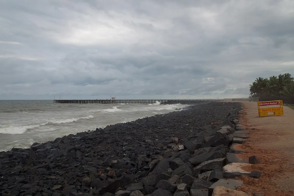
Rough sea conditions are expected during this period. The developing system is likely to make conditions unsafe at sea.
How much rain has already fallen?
In the 24 hours ending at 8.30 am on Friday, Mambazhathuraiyar in Kanniyakumari district recorded six centimetres of rain.
That was the highest rainfall reported in Tamil Nadu in that period.
The system formed on Friday. Its path and strength will decide how much rain reaches Puducherry in the days ahead.
Explainer
What happened before
- The system formed on Friday under an upper-air cyclonic circulation over the central Andaman Sea and the Andaman and Nicobar Islands.
- On Friday, Mambazhathuraiyar in Kanniyakumari district recorded six centimetres of rain in 24 hours, the highest reported in Tamil Nadu.
Why it matters
Fishermen and coastal families need to plan for rough seas and rain. The system could bring showers to Puducherry and Tamil Nadu.
What to watch next
- The system is expected to move northwest first and intensify over the weekend.
- Fishermen have been advised to stay out of several Bay of Bengal areas until November 17.